
Walk an Estero Street Address
Ownership is the firmest public starting point for a street search. The Lee County Property Appraiser links a site address to the tax-roll owner, mailing address, STRAP or Folio parcel key, legal description, exemptions, sales, and permit references. Those fields are evidence about the parcel, not a list of all occupants. A matching site and mailing address, together with a homestead exemption, supports owner occupancy, but even that does not identify every household member.
Use one consistent chain for each house number. Save the source and date at every step so that two people with similar names or two lots with similar addresses do not merge into one record.
- Run the physical address under Site Info in the Lee Property Data Search. Record the owner, site address, mailing address, STRAP or Folio, and legal description.
- Open Lee County GeoView. Confirm the parcel, Village boundary, subdivision, street labels, and adjacent lots.
- Copy the instrument number or legal description into Landmark Official Records. Read the current deed before walking back to earlier sellers and buyers.
- Check Estero permit and code records by site. If the login portal is incomplete, request the address file from the Village Clerk.
- For an older household, ask library staff for a Lee County or Fort Myers criss-cross volume that includes Estero.
Search Estero Property by Street
The property portal is the working core of the Estero street directory because it accepts more than a full address. Street terms can expose a run of parcels, while a parcel key preserves the match after an address changes. Choose Site Info for the physical land. Choose Owner Info only when searching the tax mailing address. This distinction matters in Estero, where seasonal ownership and trust or company names are common.
| Search field | Input | Best use | Local caution |
|---|---|---|---|
| Street Address | Text | Exact site or street terms | Select Site Info for parcel location |
| Owner Name | Last name first | Find parcels by person or entity | Names must match the roll |
| Postal Code | ZIP | Narrow broad results | ZIPs differ from Village limits |
| STRAP or Folio | Parcel key | Return to the same land | Check parcel-number history |
| Instrument or Book/Page | Record reference | Move from parcel to deed | The Clerk is the title source |
| Grantor or Grantee | Name | Follow a transfer | Confirm legal description |
The property search modes page describes real-property, tangible-property, and exportable report routes. Ordinary parcel searching is free and needs no login.
The official selection screen shows the available search routes.
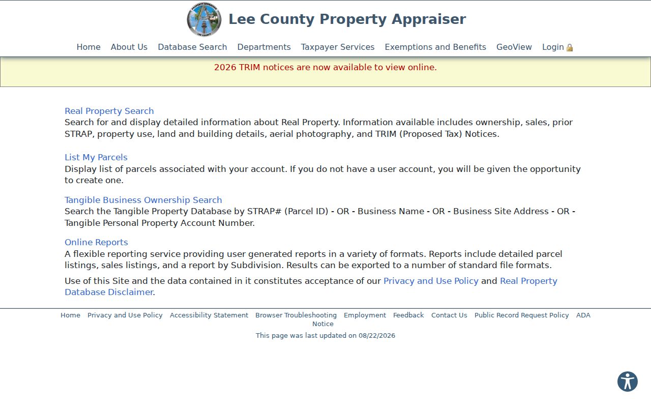
Use real property for homes and land. Tangible-property fields concern business assets and are not a household list.
Map Estero Streets in GeoView
GeoView turns a single address into a street segment. Zoom until parcel lines appear, then select one parcel by click or tap-hold. The line, box, and shape tools can select several lots. Append adds another group, and a buffer selects parcels within a chosen distance. Results appear in a sortable table, with a maximum of 1,000 selected parcels.
The map layers add context that an owner list cannot. They include parcel labels, street numbers, subdivisions, easements, municipal boundaries, property uses, sales, ZIP Codes, flood and evacuation zones, and aerial images from 1998 through 2026. Alternate-address and parcel-number history can rescue a search when a road label changed or land was divided.
Open the official GeoView parcel map before building a street list.
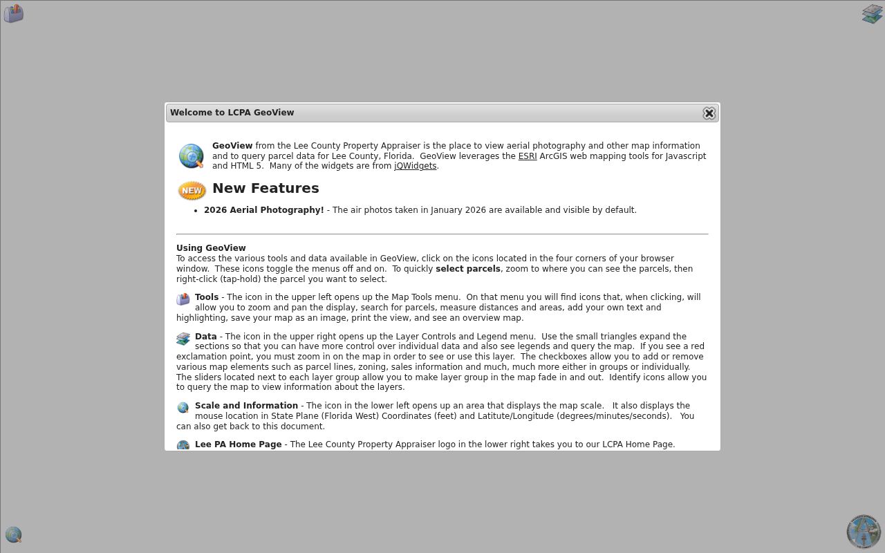
The map provides the spatial link between a house number, its legal parcel, nearby lots, and the Village line.
Note: A selected parcel table shows ownership evidence, not a verified list of people who live on the block.
Decode Estero Address Keys
Several address terms look alike but answer different questions. Keep each one with the source that created it. This prevents a tax mailing address from being reported as a person's current home and keeps an old deed tied to the right land.
- Parcel
- A mapped unit of land identified by the Property Appraiser.
- Situs address
- The physical site address maintained with E911 data.
- STRAP
- Lee County's 17-character parcel identifier.
- Plat
- A recorded map of lots, blocks, roads, and easements.
- Criss-cross directory
- A volume arranged by street and house number instead of only by surname.
Legal descriptions and parcel keys usually outlast street labels. In a gated subdivision, the recorded subdivision or condominium name may retrieve a deed when the marketing name does not.
Estero Records Indexed by Address
No single source is a full street directory. Each record set contributes one layer, and each has different access channels. Lee Clerk records may be checked online, at the Fort Myers counter, requested by mail with an instrument or book/page reference, or examined through original indexes in the Historical Document Library.
| Record source | Keeper | Address evidence | Access route |
|---|---|---|---|
| Tax roll | Lee Property Appraiser | Site, owner, mail address, exemptions | Free web search |
| Parcel GIS | Lee Property Appraiser | Lots, boundaries, subdivision, uses | Free GeoView map |
| Deeds and plats | Lee Clerk | Parties, legal description, return address | Landmark, counter, mail, library |
| Permits and code | Village of Estero | Site, work, applicant, status | Login portal or request |
| Historic directories | Libraries | Occupant by address where covered | Catalog, onsite tools, staff |
| Census | NARA and libraries | Historic household and place | Public through 1950 |
Florida voter information has statutory limits and protected-address exemptions. The county self-lookup requires identifying inputs and is not an open block-browsing directory. It should not be presented as a public list of all voters on a street.
Follow Estero Deeds by Parcel
A deed can identify sellers, buyers, return addresses, and land transferred. Start with the parcel card's newest instrument. In Landmark, verify the grantee, grantor, date, instrument number, and legal description. Then search the seller as a grantee before the sale. Repeat only while the same lot, block, or legal description remains consistent.
Landmark offers name, document, case reference, book/page, consideration, record date, clerk file number, legal, and quick-search modes. Its date field starts at January 1, 2010 by default even though Lee Official Records reach 1887. Widen the range. Search spelling variants and note that provisional R or I indexing can change before verified V status.
Public searches and available images are free after the disclaimer. Confidential images and some older pages require a request. The counter is at 2115 Second Street, second floor, Fort Myers. Mail copy requests go to P.O. Box 2278, Attn: Land Records, Fort Myers, FL 33902.
Estero Permits Add Site History
Permits can attach work, dates, applicants, contractors, inspections, and status to an address. Estero changed to a new permit system on September 9, 2024, and portal use requires registration. The Village published search and code-case guides, but a complete file may still need a public-record request.
The Village permit-system notice documents the conversion.
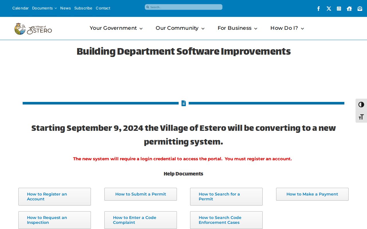
The capture explains why a failed anonymous search is not the end. Requests may go through the Village Clerk online, by email, phone, mail, or in person.
Since April 22, 2025, Estero has routed lien and open-permit information through a designated form with a $50 fee. Older county-era files may call for a Lee County request.
Verify an Estero Street Boundary
“Estero” can be a postal city without proving that a parcel lies inside the Village. The Village identified five ZIP Codes within its boundary: 33928, 33929, 33967, 34134, and 34135. These zones follow mail delivery. Permits and code jurisdiction follow government lines.
Turn on the Village and ZIP layers in GeoView. Then compare the parcel with its postal label. Lee County E911 coordinates street names in unincorporated areas and maintains the countywide Enhanced 911 database.
The county explains that role on its address database page.
This boundary check sends a permit or code request to the office that holds the file.
Estero Street Names and E911
E911 data supports the site address on a parcel card. County rules allow correction of duplicate street names, rural box numbers, out-of-sequence numbers, and odd or even numbers on the wrong side. No verified Village-wide renumbering year was found, so bridge an old address with parcel history, plats, road-name ordinances, and recorded documents.
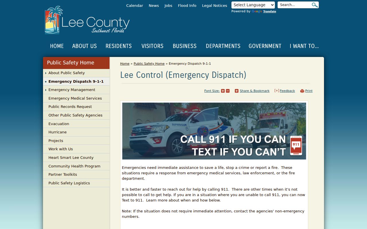
The Lee County E911 program supplies the official context.
When a house number vanishes, the STRAP, Folio, and legal description are safer keys than memory.
Bridge Estero Street Record Changes
A parcel search may appear to end when the land was split, joined, or assigned a different site address. Start with the parcel card's Parcel Numbering History and Alternate Address Information. Note each prior key exactly. Open the recorded plat to match lot and block, then use the legal description in Landmark. That sequence follows the land even when the street directory wording no longer matches.
Physical changes need a separate date trail. The parcel card can link building or construction permits. GeoView adds aerial coverage from 1998 through 2026, including annual and post-storm images. An aerial can show that a roof, road, or building changed, but it cannot establish that a person moved. Pair visible change with a dated permit, deed, or tax-roll transaction before tying it to ownership history.
Older Estero and newer planned communities require different evidence. River and U.S. 41 sites may depend on plats, census, county indexes, newspapers, and historical collections. Corkscrew and Three Oaks developments often have stronger parcel, aerial, and permit trails. For condominiums, search the recorded condominium name and unit legal description rather than only a street number. For trusts or companies, copy the owner name exactly as the tax roll prints it before moving to deeds.
Note: Alternate addresses are continuity clues, not proof that two house numbers were occupied by the same people.
Read Older Estero Streets
No exact annual run of reverse directories solely for Estero has been verified. Ask South County Regional Library or the Fort Myers Regional Library Genealogy Room for Fort Myers and Lee County Polk, telephone, or criss-cross books that include Estero. The verified 1927 Polk title names Estero, but older places may appear under rural routes, Lee County, or Fort Myers.
A reverse section begins with the street and house number. It may add an occupant or phone for that year. For collection years and reading methods, use the Estero city directory overview. Pair a result with deeds and census records rather than assuming the listed person owned the parcel.
Limits of Estero Street Records
Parcel cards identify owners of record, not renters, guests, or every household member. Deeds prove an interest, not current occupancy. Private utility accounts, gated-community rosters, driver-license addresses, and association membership lists are not open resident rolls. A trust or company owner may also separate the public name from any person at the site.
The safest report distinguishes owner of record, tax mailing address, permit applicant, and historical directory occupant. It also records the source date. Never turn an inference into a claim about who currently lives behind a door.
Lawful use. Use Estero address records for legitimate personal research, civic review, or family history. Never use them to stalk, harass, threaten, or harm anyone.