
Estero Previous Residents by Era
No single roll identifies every person who lived at an Estero address. The strongest trail joins ownership records to signs of occupancy. Lee County deeds establish transfers and legal descriptions. The property roll adds the present owner, mailing address, exemptions, sales, permits, and parcel-number history. Aerials date visible site change. Census schedules and any directory that actually covers Estero can place a household at or near the property, but they must be checked against the correct year and geography.
| Source | Years It Covers | Where Held | What It Shows |
|---|---|---|---|
| Official Records and deeds | 1887 to present | Lee Clerk Landmark and historical library | Owners, transfers, legal descriptions, recording references |
| General indexes and plats | 1887 to present | Clerk Historical Document Library | Older name indexes and subdivision layout |
| Property roll | Current, with transaction and history fields | Lee Property Appraiser | Owner, site, mailing address, exemptions, physical facts |
| Aerial photography | 1998 to 2026 visible | GeoView | Development and site change |
| Building permits | Village era; some earlier county data | Estero, LCPA, and Lee County | Work, dates, and applicants |
| Federal census | Public through 1950 | NARA and library genealogy services | Households at an enumeration location |
For a recent home, begin with the parcel card and newest deed. For a home standing before the online aerial sequence, add plats, historical indexes, census records, and newspapers. Do not force a directory answer. No exact annual Estero directory run has been verified, so check whether a Fort Myers or Lee County volume includes Estero before treating an entry as evidence.
Start Estero Address History Here
The Lee County Property Appraiser Property Data Search is the practical first stop. Search the street address under Site Info, then copy the STRAP or Folio, legal description, subdivision, present owner, owner mailing address, first year on the tax roll, sales, permits, and parcel-number history. A situs address means the physical site. The mailing address is where tax correspondence goes. Their match, especially with a homestead exemption, supports owner occupancy but does not prove it.
Estero has many seasonal homes, trusts, companies, condominiums, and planned communities. An out-of-state mailing address is common and does not identify an occupant. A trust name may require the recorded deed to identify trustees. Condominium work also depends on the unit's legal description, not just the street number shared by the complex.
Note: Copy the parcel key and legal description before leaving the card; both survive address-label changes better than a street search.
Walk Estero Deeds Backward
The Landmark Official Records portal reaches Lee County's creation in 1887. Its name search is the grantor and grantee route. A grantor gives or sells an interest; a grantee receives it. Start with the newest transfer tied to the parcel, then follow each seller to that person's earlier purchase. Compare the legal description at every turn because an old deed may omit the modern street address.
- Copy the current owner, instrument number, STRAP, and legal description from the parcel card.
- Open the current acquisition deed by instrument number or owner name. Confirm the lot, block, subdivision, or metes-and-bounds description.
- Take the seller named as grantor and search that party as grantee before the sale date.
- Repeat the pattern, recording each Clerk File Number, book and page, date, party role, and matching legal description.
- If an image or index is incomplete, use the counter, mailed copy request, or historical general index rather than guessing.
- Grantor and grantee
- The party transferring an interest and the party receiving it.
- Chain of title
- The linked series of recorded transfers for the same land.
- Legal description
- The recorded wording that identifies land independently of its postal address.
- Clerk File Number
- The instrument number used to retrieve a recorded document.
Landmark opens with a date range beginning January 1, 2010, even though its records reach 1887. Widen that range manually. Search spelling variants, last name plus first initial, and trust or company names exactly as indexed. Provisional R or I entries can still change; V marks a verified record. Public images can generally be viewed and printed free, while confidential images and some older material require a request.
Estero Records Beyond Landmark
The Lee Clerk Historical Document Library holds more than 150 original books at the Lee County Administration Building. General indexes and plats begin in 1887. Marriage material starts in 1888, and the unusual Marks and Brands Record 2 dates to 1899. These sources matter when an online image is absent, a handwritten index points to an older book, or a subdivision plat is needed to connect past and present descriptions.
The collection is a surviving government-office archive, not the result of a reconstructed records fire. Lee County's old courthouse was demolished in 1914, but research found no broad loss of its records. Visitors may photograph pages or use a handheld scanner. Staff do not copy fragile or oversize volumes. For ordinary deed copies, the Official Records counter and mailed request route remain available.
Note: Bring exact names, date ranges, book and page references, and legal descriptions so staff can direct the search efficiently.
Recover a Lost Estero Address
A failed street search does not end the prior-resident trail. Open LCPA GeoView and inspect Parcel Numbering History, Alternate Address Information, parcel lines, subdivisions, street labels, and municipal boundaries. Parcel splits and road-name changes can detach a modern address from earlier records. The STRAP, Folio, plat, and legal description provide better bridges.
Historical geography also matters. The Koreshan Town of Estero existed from 1904 to 1907 and covered a much larger area than today's Village. Modern Estero incorporated in 2014. An old Estero reference may therefore fall outside the current line or use Fort Myers, Lee County, Estero Creek, a rural route, or a subdivision name. Search in the geography used when the record was made.
There is no verified Village-wide renumbering date and no confirmed Estero-specific Sanborn map. Do not manufacture either shortcut. E911 records, plats, road ordinances, parcel history, and dated newspapers offer an evidence-based way to resolve one changed address.
Date Change at Estero Homes
Ownership dates do not show when a building, pool, addition, or cleared lot changed. GeoView's visible aerial sequence spans 1998 through 2026, including annual and post-storm views. The 2026 layer uses three-inch imagery. Compare views around a deed or permit date to narrow the physical change, then check parcel-card permit entries and Village records.
The source screenshot below comes from the Lee Property Appraiser historic aerial request page, which supplies the fallback when the needed image is not in GeoView.
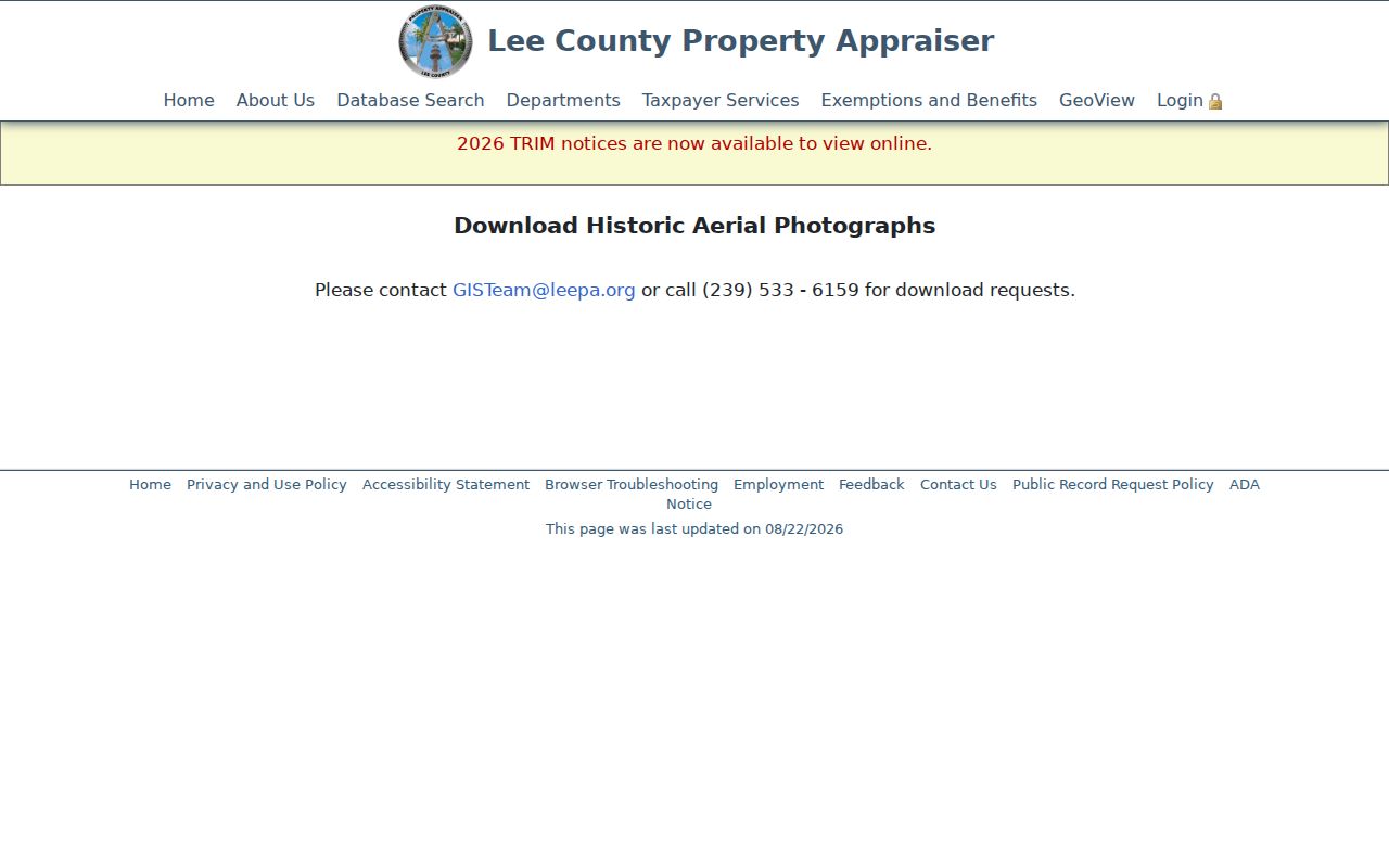
That request channel can extend a site-history search beyond the convenient online layers. Estero's permit portal changed in September 2024 and requires an account. If the portal or parcel card does not supply the needed file, request Village or Lee County records by address and date range.
Confirm Estero Previous Residents
A deed names owners, not all occupants. Pair it with a directory or census before saying who lived there. Verified Polk volumes for Fort Myers and Lee County include 1915–16, 1921, 1923–24, 1925–26, 1927, and 1935. The 1927 title expressly includes Estero. Exact holdings and how entries work belong on the Estero city directory page, but the key here is to copy one address entry exactly and compare it with the nearest public census.
Use a simple flow: deed owner and date, directory occupant near that date, census household and neighbors, then obituary or probate. Public federal census schedules end at 1950 under the 72-year rule. A reverse or criss-cross directory lists the address before the occupant when that section exists. An enumeration district is the census area's local counting unit; it helps locate a street when schedules are not indexed cleanly.
Probate can identify heirs, a personal representative, and a last-known address, subject to redaction. Newspaper obituaries may connect relatives and prior communities. For early Estero, the Koreshan Unity Papers add internal censuses, membership files, admission cards, deeds, store records, and guest books. They are a special archive, not proof that every named person occupied the property under study.
Lawful use. Research Estero previous residents for house history, family history, heirs, or personal curiosity. Florida law does not permit stalking, threats, impersonation, or harassment.
Estero Archives Add Human Detail
When deeds and directories leave a gap, archival collections can add names without pretending to be a complete resident roll. The State Archives of Florida provides catalog and research access to state archival material. Its Estero-related Koreshan holdings include alphabetical member files from about 1874 to 1985, internal censuses for 1900, 1910, and 1920, admission cards, membership lists, deeds, mortgages, abstracts, guest books, photographs, and correspondence.
The source view below introduces the State Archives access point used to locate those collections and other Florida records.
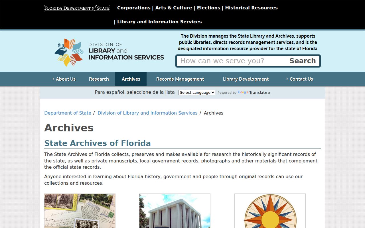
An archival match gains value when its surname, date, land reference, and community role agree with the deed or census trail. Cite the series, box, and folder. The Koreshan papers were rearranged more than once, so their present order does not necessarily reflect the original office system.